The Best HIking Trails
in Branson, MO
Staying at Bull Creek RV puts you among the Ozarks. While there may not be towering mountains to climb, there still are plenty of hiking trails near Branson that are worth your time to explore.
Some of these hikes take people along the shores of Table Rock Lake or near a cascading waterfall. Regardless of where you go, hiking in Branson will be well worth your time. Come see some of the best hikes in Missouri with our guide to nearby trails.
Table Rock Lakeshore Trail
Trailhead: Dewey Short Visitor Center, 4500 State Highway 165, Branson, MO
Length: 4.4 miles
Difficulty: Easy
Type: Out and Back
Wanting to better explore Table Rock Lake? Take a stroll down the Table Rock Lakeshore Trail. This paved path runs from the Dewey Short Visitor Center to near the marina.
It curves with the shoreline, allowing hikers a great view of the lake. This is a popular spot for birding, fishing, and trail running. The trail does see a fair amount of traffic.
White River Valley Trail
Trailhead: 5325 Historic State Highway 165, Branson, MO
Length: 11.5 miles
Difficulty: Moderate
Type: Loop
White River Valley Trail may seem like a long trek but it is broken into several sections, making it easier to digest depending on your time.
There are four different loops that each offer their own unique experience. The trail does offer rugged landscapes as well as forest areas. There's plenty of wildlife and flora to keep your interest throughout the trek.
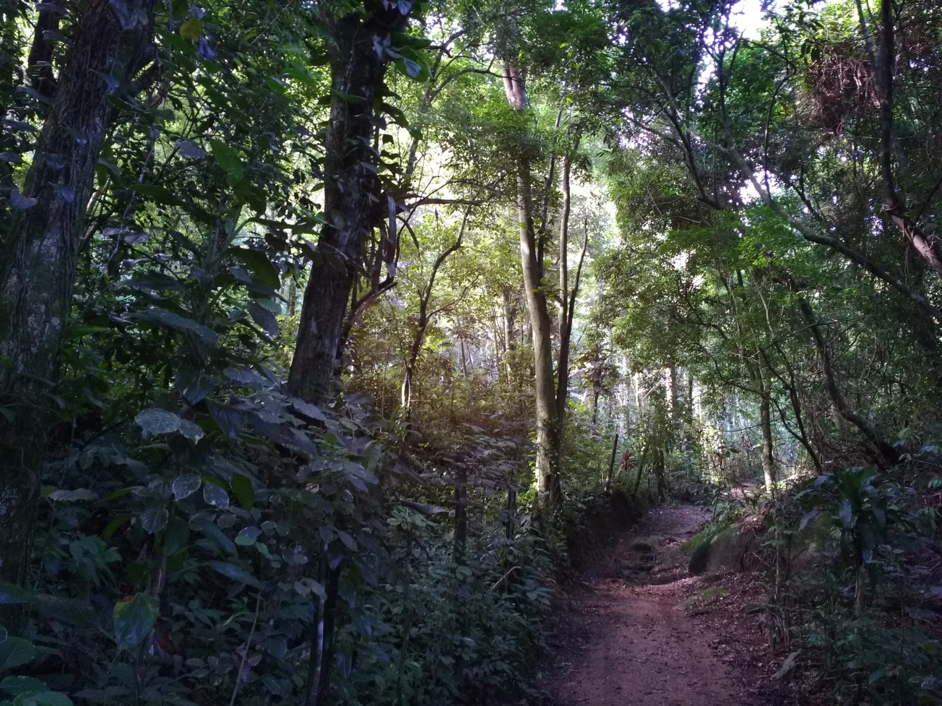
Waterfall Trail
Trailhead: near the intersection of Shepherd of the Hills Expressway and Roark Valley Road, Branson, MO
Length: 0.66 miles one way
Difficulty: Moderate
Type: Out and Back
the Waterfall Trail is a great place to go with family. This trail is mostly level and ends at a scenic waterfall. The path follows along a tributary of Roark Creek, meaning the trail will be muddy and wet if there was recent rainfall.
While the waterfall at the end is the main attraction, there are smaller waterfalls you can see along the way. Guests can hike to the top of the fall or continue upstream.
Lake Taneycomo Trail
Trailhead: Near the intersection of Boat dock Road and Road 160-125 in Forsyth, MO
Length: 6.3 miles
Difficulty: Easy
Type: Out and back
The Lake Taneycomo Trail starts in Forsyth and runs along the White River until ending near Ozark Beach. While this path is easy, it does feature some elevation changes.
Visitors can expect road biking, trail running, and walking along this trail. Despite its popularity, guests can find some quiet times to walk the trail. It does run along a road.
Drury-Mincy Conservation Area
Trailhead: 3441 Gunnison Road, Kirbyville, MO
Length: 1.5 miles
Difficulty: Easy to Moderate
Type: Out and Back
The drury-mincy conservation area trail takes about 45 minutes to complete and is generally not too busy.
This is the only marked trail in Drury-Mincy Conservation Area as the rest are access or hunter trails.
There is a cave on this hike but it's not recommended to enter.
Ruth and Paul Henning Conservation Area
Address: Part of the White River Balds Natural Area
The Ruth and Paul Henning Conservation Area is home to some great hiking trails.
Some of the trails include the Glade Trail (1.1 miles), the Henning Homesteaders Trail (3.4 miles), and the Streamside Trail (0.4 miles).
Each trail offers some great ways to experience the area.
Dogwood Canyon
Address: 2038 W. State Highway 86, Lampe, MO
Dogwood Canyon is a little bit of a drive from Branson as it sits on the south end of Table Rock Lake near the Arkansas State Line.
The nature park, however, offers some great trails, among other outdoor activities, to enjoy. The park has 6.5 miles of paved paths and 9 miles of nature trails. There is an admission price starting at $25 for adults.